


NZ Topo Map 50 Alabaster Pass CA09
Description
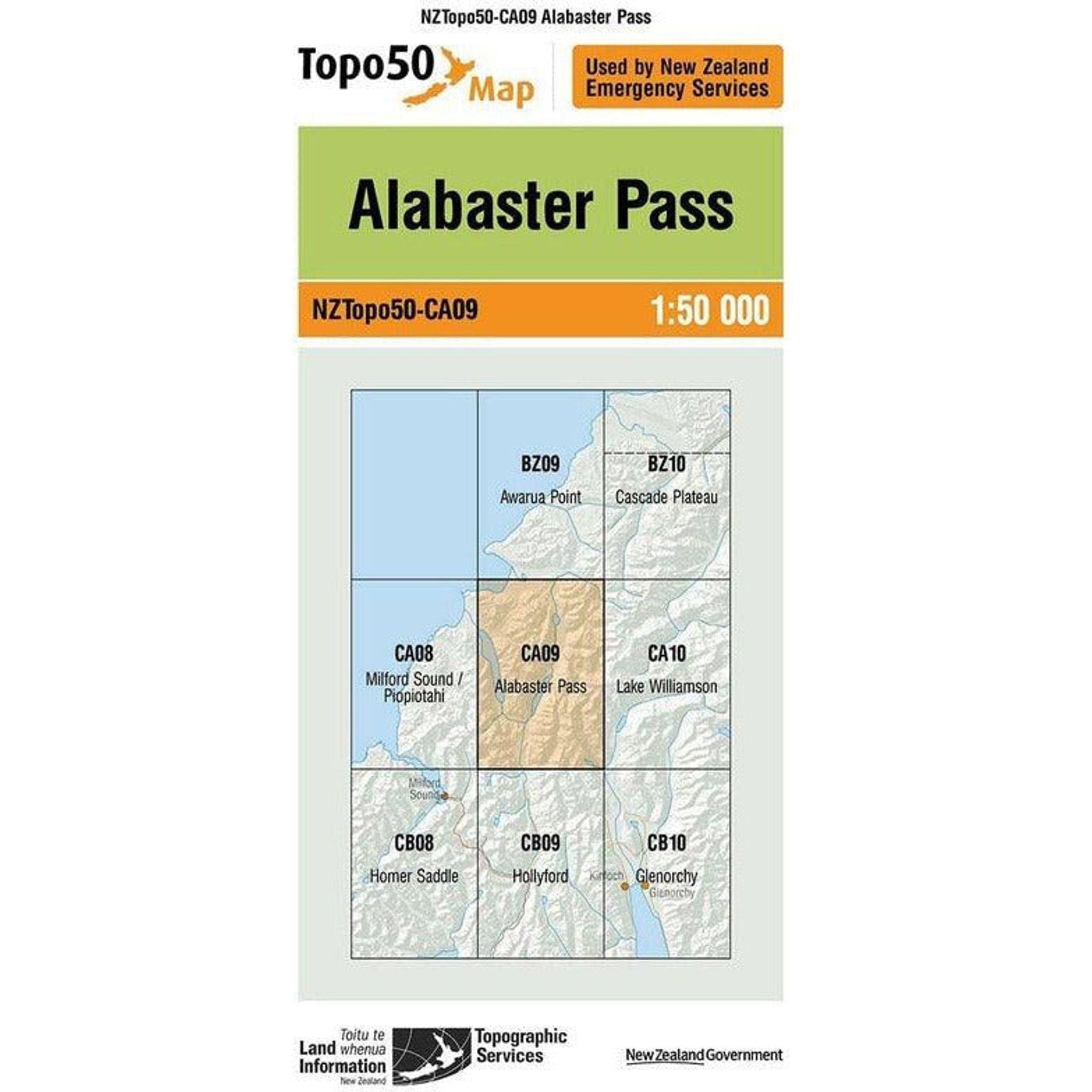
The Topo Map 50 Alabaster Pass in New Zealand offers a comprehensive view of the terrain at a 1:50,000 scale, detailing elevation contours, geographical features like rivers and forests, and landmarks such as trails, campsites, and man-made structures. It provides crucial information for hikers, adventurers, and geographers, allowing them to understand the area's topography, navigate accurately, and plan their journeys effectively. Alabaster Pass likely showcases diverse landscapes, potentially featuring alpine terrain, valleys, and hiking or climbing routes amidst stunning natural beauty. Understanding the map's symbols, contours, and scale is essential for anyone exploring this region.
Features
Technical Specifications
Discover Our New Arrivals


Customer reviews
Customer reviews
Shoes arrived in record time, 100% recyclable packaging with a lovely personalised note. Came across this shop by chance but very glad I did and highly reccommend for online orders.

Shoes arrived in record time, 100% recyclable packaging with a lovely personalised note. Came across this shop by chance but very glad I did and highly reccommend for online orders.

Smooth and hassle-free online purchase. Delivery was fast and product was as described. Highly recommended!
Why Shop with Outside Sports
FREE NZ SHIPPING
Free Delivery on Orders Over $100*
60 Day Returns
Exchange or 100% Refund Guarantee
Rewards
Get 10% in Rewards
Join Membership
Get 10% OFF on your first purchase and earn 10% in rewards