Get $10 Voucher per $100 Spend! T&C apply

Free shipping on orders over $100

⟟ Locations
Currency

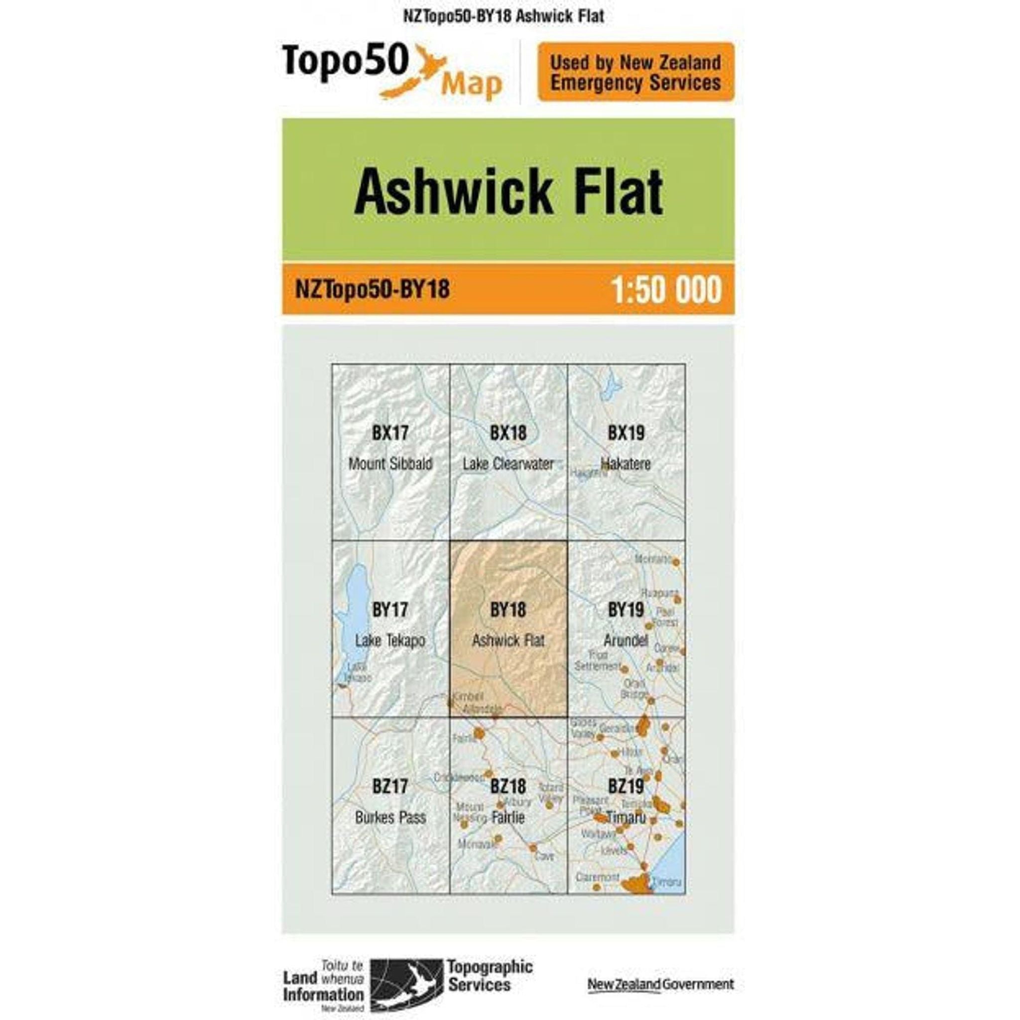
Topo Map 50 Ashwick Flat BY18

$8.99 NZD

Free NZ Shipping over $100
60 Day Returns
Earn 10% cash back in Rewards!
Description

The Topo Map 50 Ashwick Flat BY18 offers detailed cartographic representation of the Ashwick Flat region, featuring terrain features, elevation contours, water bodies, and other relevant geographic information. With precise topographic details, including contour lines indicating changes in elevation, this map aids in route planning, outdoor activities, land management, and environmental analysis. Whether for leisurely exploration or professional research, it serves as an essential tool for understanding the terrain and its natural features in the Ashwick Flat area.

Features

  • Detailed cartographic representation of Ashwick Flat region
  • Terrain features and elevation contours
  • Identification of water bodies
  • Precise contour lines indicating elevation changes
  • Aid for route planning and outdoor activities
  • Useful for land management and environmental analysis

Technical Specifications
  • Scale: 1:50,000
  • Geographic Coverage: Ashwick Flat region (BY18)
  • Cartographic Detail: Detailed topographic representation
  • Elevation Data: Contour lines indicating elevation changes
  • Water Features: Identification of rivers, lakes, and other water bodies
  • Dimensions: Standard map dimensions for easy handling and storage
  • Materials: Durable paper or digital format
  • Compatibility: Compatible with standard map-reading tools and software

★★★★★
★★★★★
★★★★★
★★★★★

Why Shop with Outside Sports

Free_shipping_icon-min - Outside Sports

FREE NZ SHIPPING

Free Delivery on Orders Over $100*

Return_icon-min - Outside Sports

60 Day Returns

Exchange or 100% Refund Guarantee

loyalty_icon-min - Outside Sports

Rewards

Get 10% in Rewards